
Open Google Maps on your iPhone or iPad. It's the map with a “G” and red pin inside. You'll usually find it on one of the home screens.
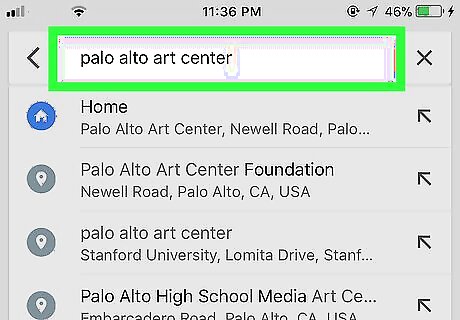
Locate the starting point. Type your desired location into the search bar, and then tap it in the search results. Or, if it's easier, just drag the map to the location.
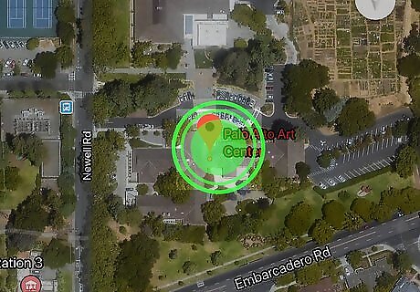
Tap and hold the starting point. A red pin will appear on that spot.
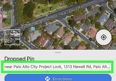
Tap the location's name. It's at the bottom of the screen, and may be an address, road name, business, or some other landmark.
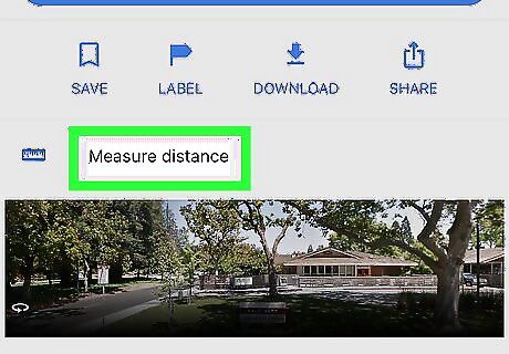
Tap Measure distance. It's the option with a blue ruler icon. A crosshair symbol will replace the pin.
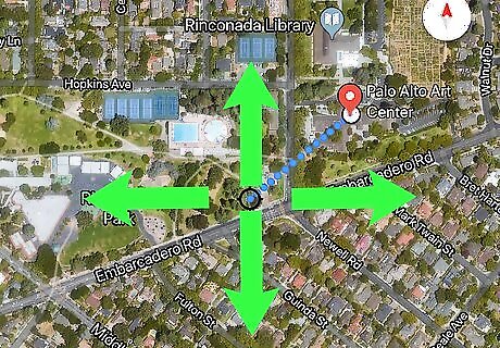
Drag the map to the destination. The crosshair symbol will move as you drag the map. You'll want the crosshair to appear right over the next point, so zooming may be helpful. To zoom, place two fingers together on the screen and then spread them apart.
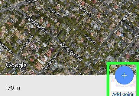
Tap the + to add a point. It's in a blue circle at the bottom-right corner of the screen. The distance will appear at the bottom-left corner of the screen.
Continue dragging and adding points. If you want to keep measuring to additional locations, drag again and tap +. The distance at the bottom-left corner of the screen will update. Repeat this step until you've added every point you want to measure.


Comments
0 comment